“Shared Roads” Proposal Pushed to Make Baguio Bike-Friendly
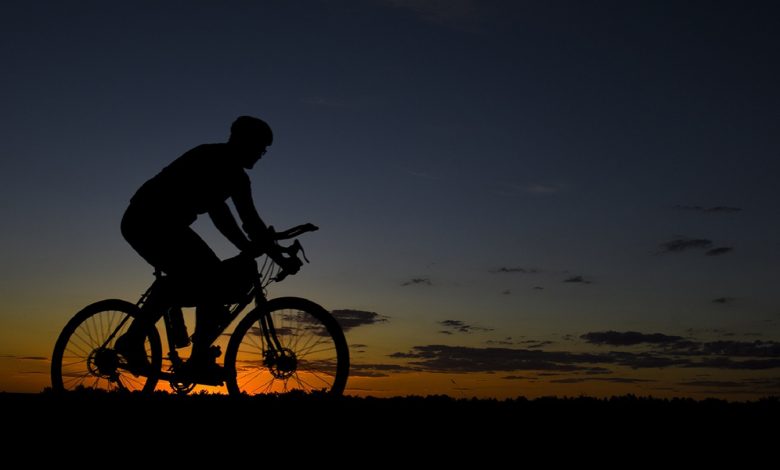
A lot has changed because of the pandemic, and our transportation system is one of them. Bicycles have turned into viable modes of transportation because of the pandemic. It seems that Baguio is giving more priority to the cycling public, as they further develop their “shared roads” concept. This is great news for our cyclists and the commuting public in the City of Pines!
This development comes from a plan by the city engineering office presented to the city council early this month. “Shared roads” are public thoroughfares that are equipped with bike lanes that allow residents to safely use their bicycles alongside motor vehicles.
This plan spans six routes, totaling 13.7 kilometers leading to downtown Baguio. Mass transportation was suspended since the start of the lockdowns last year. Everything has been operating in a limited capacity ever since. This has prompted the rise in the use of bicycles for residents throughout the Philippines. Baguio is not an exception.
Baguio Councilor Mylene Yaranon, who sponsored a shared road ordinance, believes that bikes are the way forward. This shared road principle, according to her, is even appropriate for a “postpandemic” environment where people can bike to work or for just for leisure.
“More people will walk or bike if they feel safe,” said Yaranon.
Hitting all Major Baguio Landmarks
In the above-mentioned shared roads plan, government engineers explained the routes appropriate for bicycles. This would primarily be along the 6.4 kilometer stretch between Loakan Road and Leonard Wood Road. It would traverse almost all major landmarks in the city. This includes Camp John Hay, Baguio City Economic Zone, Loakan Airport, Philippine Military Academy, Teacher’s Camp, and the Baguio Botanical Garden.
In addition, they also chose the 1.3 kilometer route connecting the rotunda in front of Baguio General Hospital to Panagbenga Park, the 1.8 kilometer stretch from Baguio Justice Hall to Kalaw Street, and the 1.4 kilometer route from Gov. Pack Road back to the Baguio General Hospital rotunda.
7.25 kilometers of exclusive bike lanes will be placed in this total of 13.7 kilometer shared roads.
Vice Mayor Faustino Olowan explains that this proposed ordinance is currently undergoing review. This is in order to comply with the released guidelines for bicycle lanes by the Department of Public Works and Highways (DPWH).
Biking to the Highest Point in the Cordilleras
Meanwhile, Jovita Ganongan, regional director of the Department of Tourism (DOT), said that biking has even become a marketing tool to promote tourism for the region. It would play an important role in reopening the economy in Cordillera despite the strict quarantines.
Last July 18, DOT-Cordilleras launched what they dub as the “Bike to the Highest Point” initiative, to promote tourism in the region. Around 43 mountain bikers participated in the event, pedaling through 25.3 kilometers. The event started from Lake Ambulalakaw in Kabayan, Beguet. It culminated in the newly-designated highest point of this highway system in Tinoc town in Ifugao province.
Ganongan explains that bicycle travel would allow more tourists to experience nature after almost two years of travel restrictions and lockdowns.
In conclusion, it looks like Baguio city is pedaling their way into a more sustainable future. Congratulations to the Baguio Local Government Units and Mayor Benjamin “Benjie” Magalong! Keep up the good work!


