DENR: drastic measures, whole-of-society collaboration needed to solve Metro Manila flooding
The Department of Environment and Natural Resources (DENR) yesterday called on local government units in the National Capital Region (NCR) to work together with the agency for drastic measures to mitigate the recurring issues on Metro Manila flooding.
“Increased rain intensity and frequency due to climate change, depleted forest cover, land conversion, and modification of our waterways are among the reasons why Metro Manila and Rizal get easily inundated with floodwaters much too often,” according to Dr. Carlos Primo David, DENR Undersecretary for Integrated Environmental Science.
He added, “Based on our analysis, Metro Manila is prone to flooding also partly because the entire downstream area, namely Marikina, Cainta and San Mateo, is built-up and therefore all rain falling in the downstream are converted into floodwaters.”
Undersecretary David said the government needs to work together to decrease flood heights downstream by increasing green spaces, transitioning to permeable pavements, and implementation of offline flood storage and direct flood water injection.
On reforestation, the DENR disclosed it is targeting to plant three million trees in the Upper Marikina River Basin Protected Landscape within the next four years in partnership with the Department of Public Works and Highways (DPWH), non-government organizations, local government units, academe and the private sector.
Private sector help needed to curb Metro Manila flooding
Undersecretary David, who also heads the agency’s Geospatial Database Office (DENR-GDO) and Water Resource Management Office (WRMO), also disclosed that it has already begun talks with the private sector for an intensive reforestation of the Marikina Watershed and rehabilitation of the old Wawa Dam, a gravity dam constructed in 1904 and decommissioned in 1968.
In a press conference, the DENR official presented satellite images, showing how vegetation cover in the 69,817-hectare Marikina River Basin has decreased over the last ten years. Between January 2014 and January 2024, the DENR-GDO found “notable negative changes in the vegetation cover in the river basin mainly due to urbanization.”
“The largest opportunity in decreasing Metro Manila flooding is the conversion of moderate vegetation areas into dense forests and rationalize built-up development. Rivers must also be restored and cleared of obstructions within their natural floodplains,” Undersecretary David emphasized.
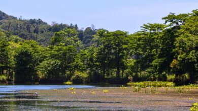
The Marikina River Basin covers parts of Metro Manila and the province of Rizal, including the 26,123.6-ha Upper Marikina River Basin Protected Landscape (UMRBPL) which is a Protected Area.
Marikina River flows approximately 11 kilometers, with a number of tributaries in the form of creeks and rivers draining to four towns and a city in Rizal province, and three cities in Metro Manila, and empties into the Pasig River.
“No quarrying was found in the protected area or the Upper Marikina River Basin Protected Landscape,” Undersecretary David said, addressing concerns on the thinning vegetation as a result of quarries. “The areas where there is a stark decrease in vegetation cover coincided with urban development.”
“Meanwhile, the areas that gained forest cover include the reforestation areas east of Antipolo and parts of Rodriguez,” Undersecretary David added.